


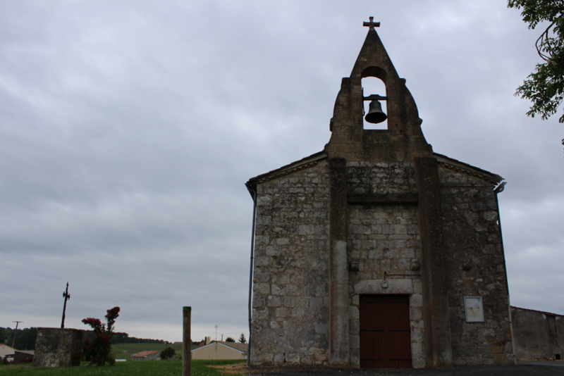
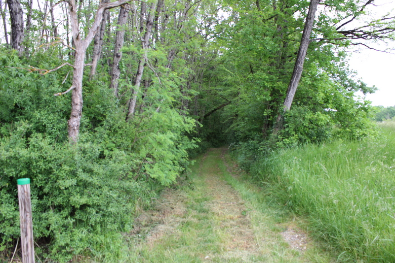
You will be able to discover the church from 1730 right from the start. You will enjoy hiking through woods, vineyards and country roads. Do not miss the beautiful view over the valley at the Terrier mill. Returning to the Roquille, in Galineaux-Est, you will see the XNUMXth century washhouse and fountain, whose well has been preserved since Gallo-Roman times. Also worth seeing: the XNUMXth century town hall, installed in the Old Temple of the village, has a pretty entrance porch and six bays inspired by Romanesque art.
Points of interest
Church.
Mill of the burrow.