


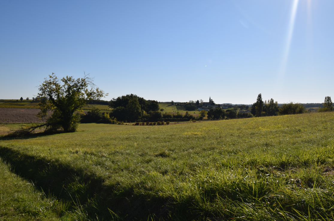
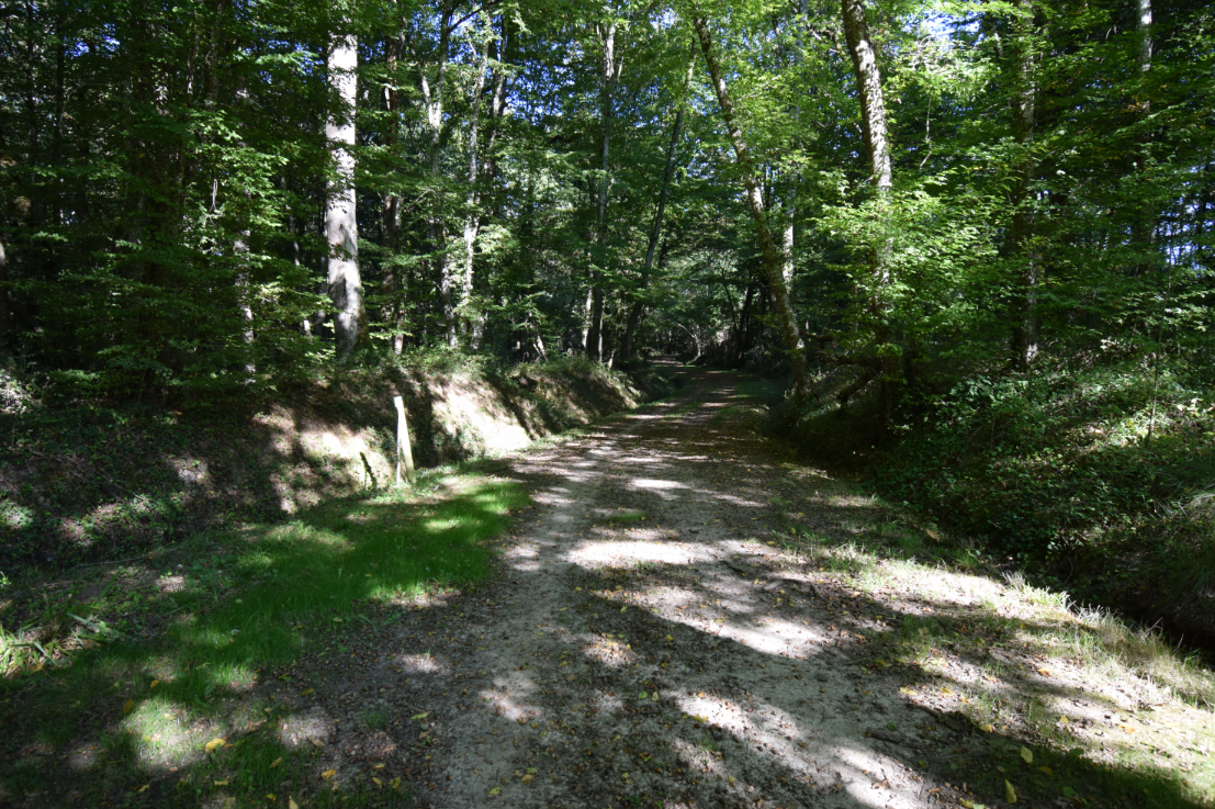
From the village, the starting point of the hike, the circuit follows rural paths in undergrowth of oaks, hornbeams and beeches to descend to Soulège, a small river that winds along some limestone hillsides.
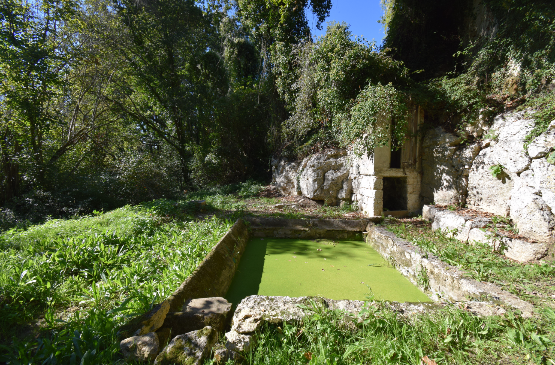
Along the way, the path meets several points of interest, witnesses of human occupations at different times: wash house, stone bridge, wind or water mills, mission cross, ...
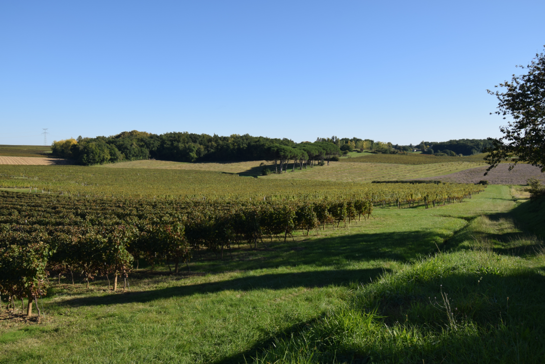
The rest of the route alternates between vineyards and woods, with several viewpoints over the surrounding villages and hamlets, before returning to the village of Saint-Quentin-de-Caplong.
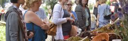
A free booklet, published by the municipality of Saint-Quentin-de-Caplong, is available at the town hall and at the Pays Foyen tourist office.
Equipments & services
Others
- Animals accepted: yes
Points of interest
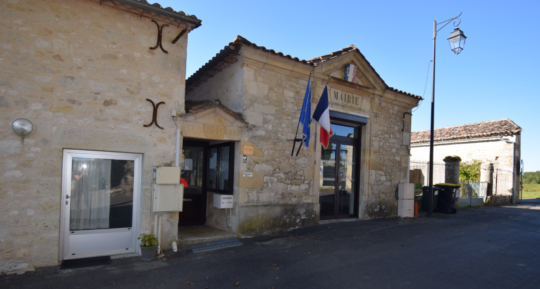
Town hall
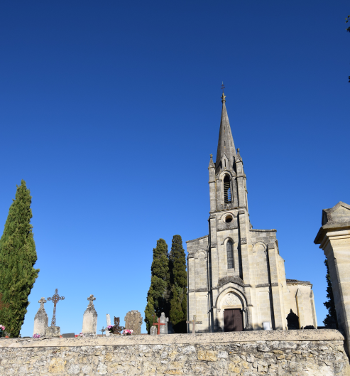
Church
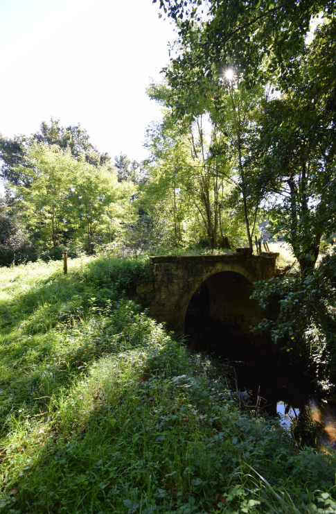
Old bridge
Moulin d'Andreau

Liret washhouse
Mission cross
Old windmill
Your itinerary
SAINT-QUENTIN-DE-CAPLONG
Along the way, the path meets several points of interest, witnesses of human occupations at different times: wash house, stone bridge, wind or water mills, mission cross, ...
The rest of the route alternates between vineyards and woods, with several viewpoints over the surrounding villages and hamlets, before returning to the village of Saint-Quentin-de-Caplong.
A free booklet, published by the municipality of Saint-Quentin-de-Caplong, is available at the town hall and at the Pays Foyen tourist office.
The start
Step not located on the map
Until Soulège
Step not located on the map
Up to the mill
Step not located on the map
From the mill to the wash house
Step not located on the map
From the Tuilerie to the mission cross
Step not located on the map
Checkin
Step not located on the map