


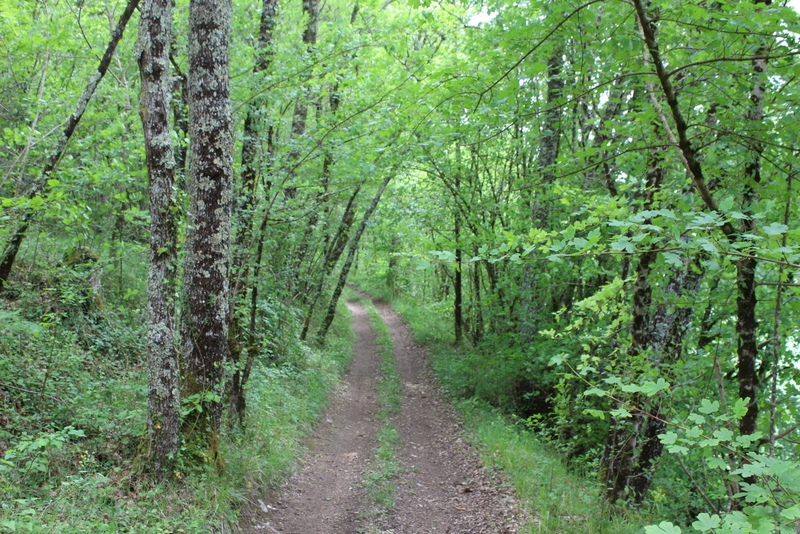
The circuit between woods and vines leads you in a green setting where you discover the small heritage such as the wash house and the renovated fountain. Rising on the edge of a plateau overlooking the Dordogne valley, the church was rebuilt in 1866 on a former Templar commandery. It is remarkable for its sobriety, having neither bay nor transept. Another curiosity to discover, the abalone planted in 1848, symbolizing the freedom conquered after the Revolution, in perfect health. It still resists the disease that has struck other trees of its species.
Points of interest
Tree of Liberty.
Moustelat mill.