


Discover the most beautiful river in France, from the mouth to the estuary!
The Dordogne river is one of the best known in France offering an exceptionally preserved setting.
With a total length of 483 km, the Dordogne river crosses six departments, Puy-de-Dôme, Cantal, Corrèze, Lot, Dordogne and Gironde. And thus three regions: Auvergne Rhône Alpes, Occitanie, and New Aquitaine.
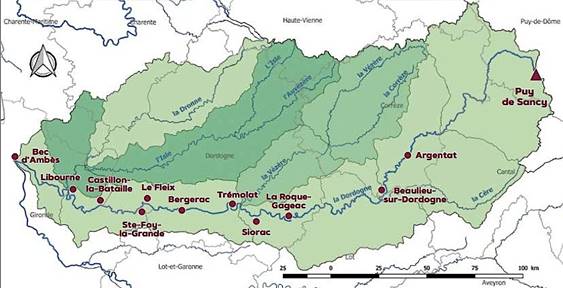
The Dordogne flows at the Bec d'Ambès into the Gironde, the common estuary that it forms with the Garonne.
It is the only river in France whose entire basin has been classified World Biosphere Reserve by UNESCO and natural Park registered in Natura 2000.


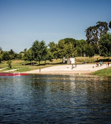
The Dordogne river is a source of great wealth and activities, with fishing, then with the construction of mills, and then thanks to the transport of goods on flat-bottomed boats called gabares. Swimming and canoeing are practiced there during the summer season as well as duck hunting in winter. Many marked trails also constitute a real network of bucolic walks on foot or by bike.
The biodiversity of the Dordogne river
Formerly generous in salmon, as evidenced by rock remains and writings, the Dordogne is still very rich in fish, notably perch, pike, carp and tench.
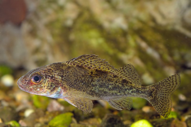
Gymnocephalus cernua - Ruffe - Ruffe 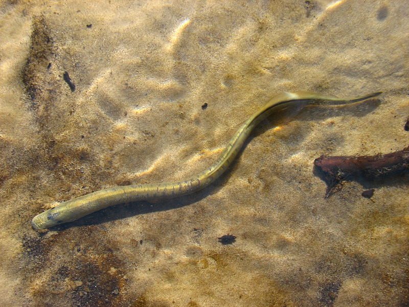
Lamprey 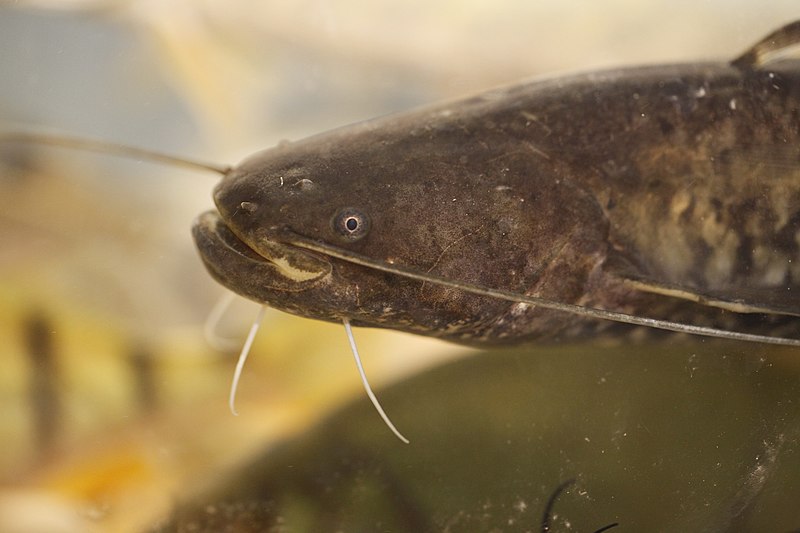
Silurus glanis
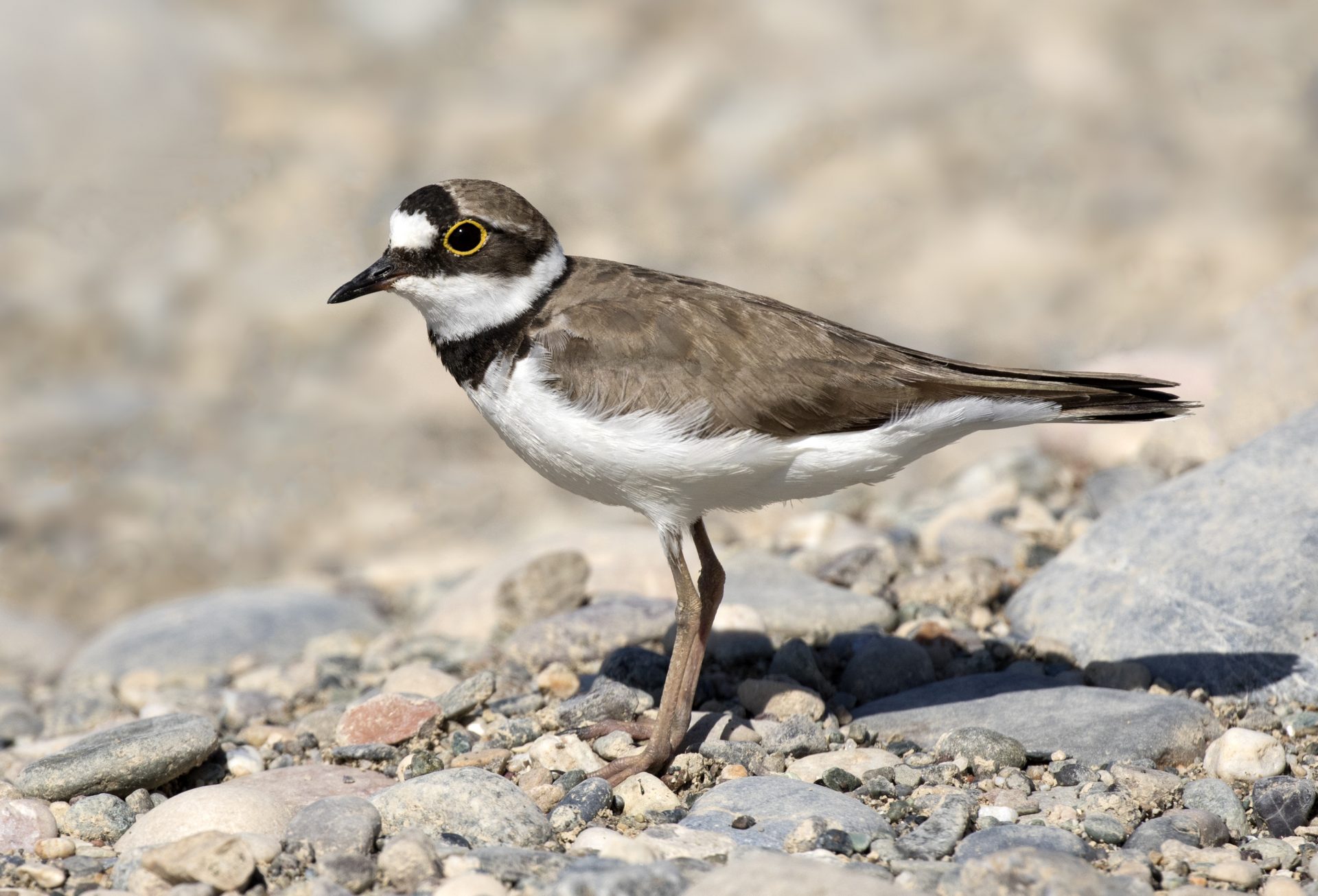
Migratory species such as river lamprey, shad, shad, salmon, sea trout and eel, take the lift at the Barrage de Tuilières, near Lalinde, in the Dordogne, to return to the Dordogne in order to spawn there. Be careful, the eel does not migrate in the same direction as the other species: it is born in Sargassum and comes to live in a river. Birds are also present on the Dordogne linear.
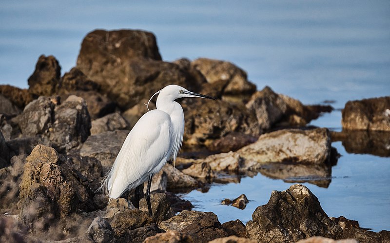
Aigrette 
Kingfisher 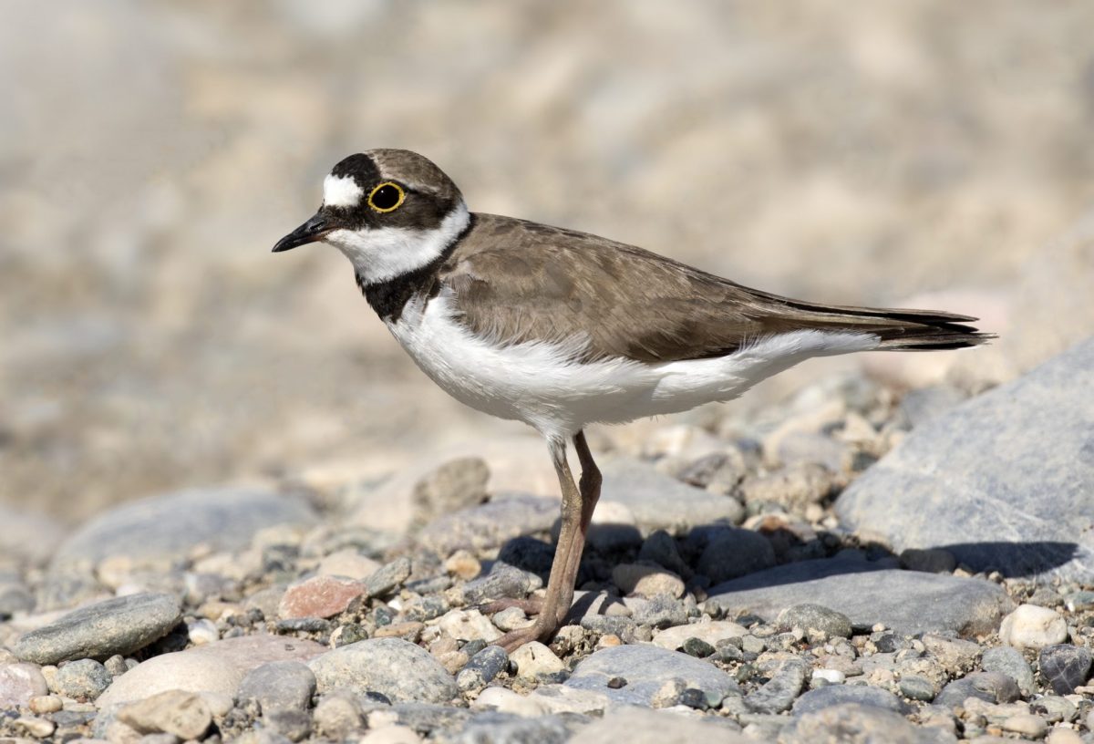
Small plover
Be careful, however, not to cross the terrifying Coulobre, a giant (and fortunately mythical!) Snake from the Dordogne which made the gabariers disappear.
The floods of the Dordogne river
Rivers have always been overflowing. It's known ! The Dordogne is no exception, even if its flow is now monitored and regulated by a few (10!) Dams. Built between 1843 and 1957, they range from the Dore mountains, where it originates, to Bergerac, at the Salvette dam.
Spring or winter floods are still a regular part of local news, but they are not as impressive as some historic floods.
Imagine the bastide covered by water up to the first floor of the houses. The use of stone, on the ground floor of houses, is not an insignificant choice! The inhabitants move by boat in the streets. It happened in 1843, 1912 and 1944. During those years, the flood scale at Bergerac measured a flood with a height of more than 10m… In 1843, the flood was also so violent that ' it damaged the surrounding walls of the bastide.
The last great centennial flood took place in December 1944 (measured at 10m50 in Bergerac). The plain was submerged. Once again, the inhabitants took out their boats to move around. The water reached the level of the deck of the Sainte-Foy la Grande suspension bridge but ... in any case, it had not been possible to borrow it for a few months: dynamited in 1940 then again the day after the landing in June 1944, the bridge was not repaired until 1947.
Thus, the boatmen still present were able to make themselves useful, even until the middle of the XNUMXth century! To discover navigation and know a little more about floods, meet your family on the route of the Robin tracks.
Source (map and historical research): friends of Sainte-Foy and its surroundings: https://www.saintefoylagrandehistoire.com/ - According to the 2020 bulletin of the friends of Sainte-Foy, along the Dordogne